The Cottonwood Road is a backcountry bypass that traverses part of the Grand Staircase section that borders the Kaiporowtis Basin of the Escalante Monument, a mashup of geographic proportions. It can be picked up from Highway 89 between Kanab and Big Water near mile marker 18. It meanders west a bit until it bumps up against the Paria River forcing it northward toward the Kodachrome Basin 47 miles away.
There’s dispersed camping along the way for which a permit is required through the BLM. The road has several stretches of sand and sand covered washboards, but if you can read the terrain there are few surprises.
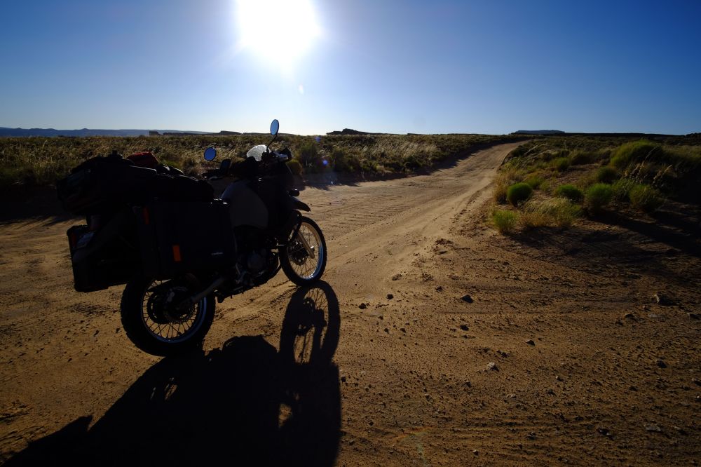
The Cottonwood Road begins in Utah’s badlands, stretching through part of a Tropic Shale plateau. On this Wednesday evening and my fourth trip north, it was also was a chance to put the latest modification on the KLR to the test, having just mounted a Progressive Series 465 shock just before I left. A week previous I swapped the front springs for Progressive springs as well. I dialed in the preload on the rear to compensate for my load – 70 pounds of gear and Pelicans cases, plus my 235.
Having no baseline for a KLR previous to this purchase, I had an idea that its stock suspension was bad, but I didn’t know how terrible. The Progressive products transformed this into the world-tourer recent reviewers are claiming it to be. Washboards disappear and control pours on through the pegs and grips.
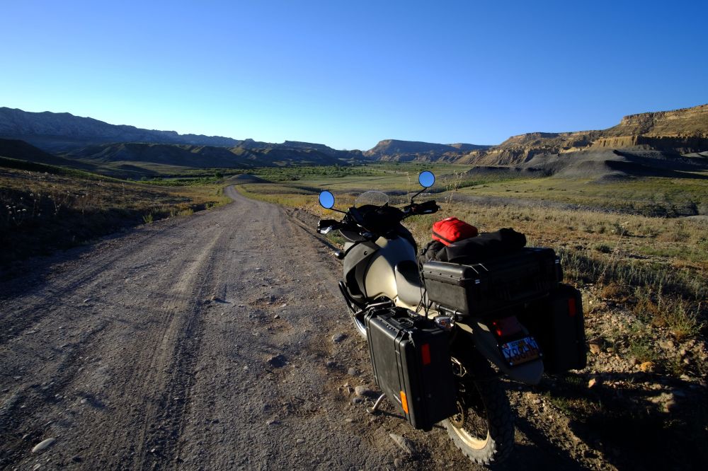
Descend into the Paria River green at the confluence of the Cottonwood Creek and on the east side the badlands continue to remind that this part, at least isn’t all the hospitable.

Some images used for this post are from a previous overland trip, like the one above.

I found a dispersed spot near the creek and set up for the evening, breaking in an ALPS Mountaineering Linx one-person tent. It was very nice to be able to sit upright. After dinner I batted the gnats and hung out for nightfall to release one last shutter.

I had just settled in and extinguished the lamp and started to drift into REM sleep when the coyotes began their chorus, far away. I wonder if it’s how we’re wired since each howl sent chills down my body, not in a frightening way, more in an absolute awareness way.
I drifted off again and a solo coyote began his call, seemingly just a few yards away. And then I could hear him sniffing around the campsite.
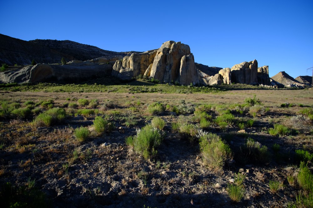
Back on the road at sunrise I released the shutter on the formation above, near my campsite.
And then this. It needs a close look to determine what it is, but its structural failure in the center was fascinating, creating a deep saddleback. More contrast is needed to see it better against the background bluff that blends in, but waiting for the light was compromised by getting a few miles behind me.

Cottonwoods populate the Paria River basin whose geology changes on the way up the Staircase. And then the Cocksombs begin, the border of Dakota Formation.

This shot from the previous trip has better light.

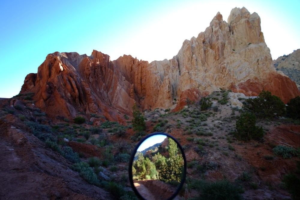
Then it all changes. As the road approaches the Cottonwood Wash, the earth shifts gears into Technicolored terrain and formations.


Thirty miles into the trip is a rare double arch named after Gilbert Hovey Grosvenor, National Geographic’s first full-time editor.


This sandstone formation is 150 feet from the desert floor.
Back on the Road the terrain turns into Claron stratified bluffs.
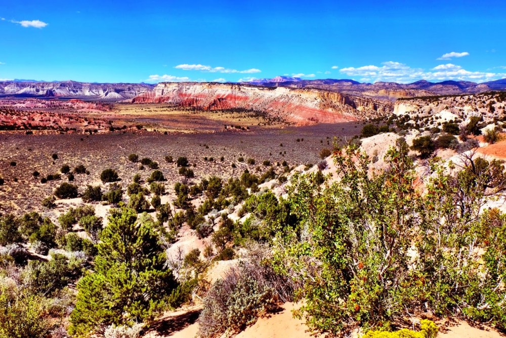

The image above is from the previous trip, looking south.
I spent some time talking with a very nice couple from Berkley, California while visiting Grosvenor’s Arch and wanted to make up some time and miles, so these pics help will fill in the blanks of this trip.
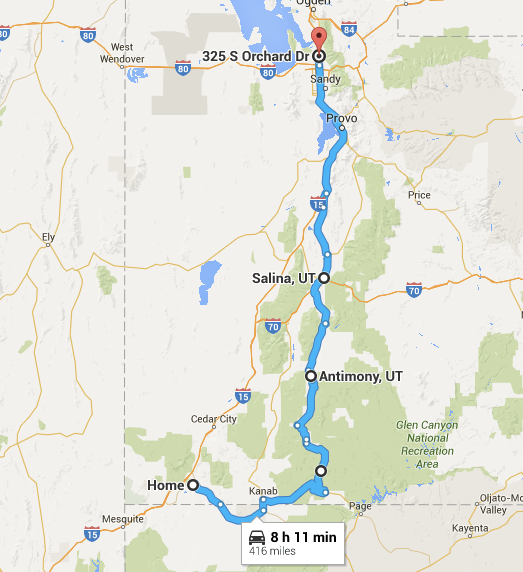
The Cottonwood Road ends at a junction to the Kodachrome Basin Park, a few miles from which is Highway 12. I had breakfast in Tropic, then mounted John’s Valley road (Highway 22) to Antimony, a new road for me and one that I’ll be taking more often as an alternative to 89. Came across this old granary along the way.

I picked up Highway 62 through Koosharem, 24 to Salina, and 89 to the great slab-fest that is I-15. Four hundred sixteen miles.


One Comment Add yours